Places of Interest
Chadwick Lakes
Places of Interest
Locations
All places in Chadwick lakes
All directions are from the Fiddien Box. The co-ordinates are approximate. Always pay attention while walking the country streets and keep to the safe parts.
Enjoy your walking.
Locations
All places in Chadwick lakes
All directions are from the Fiddien Box. The co-ordinates are approximate. Always pay attention while walking the country streets and keep to the safe parts.
Enjoy your walking.

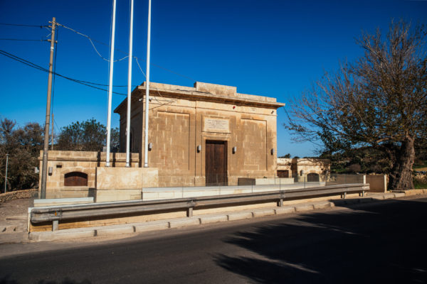
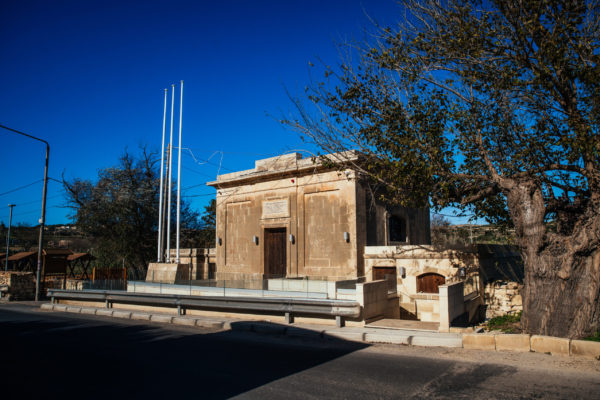
Fiddien Box
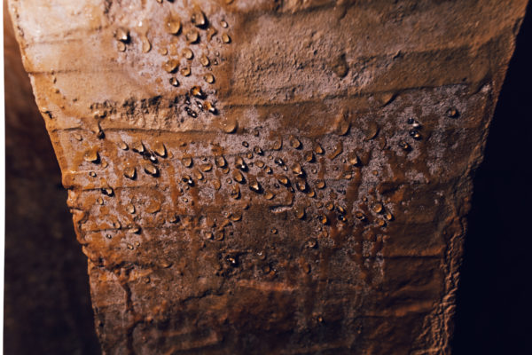
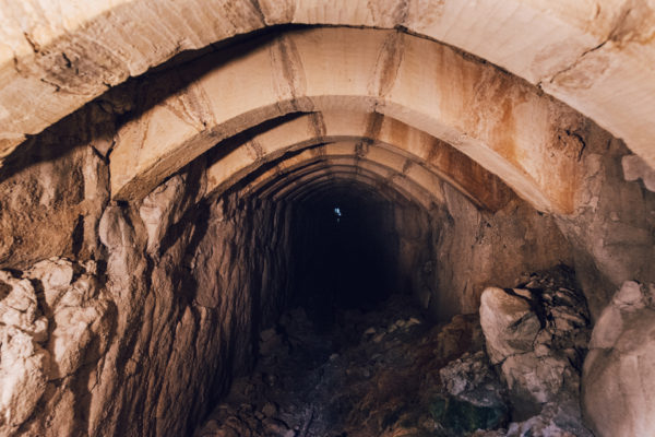
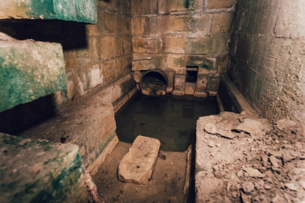
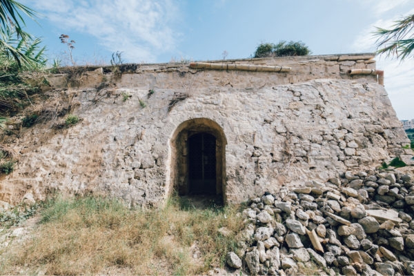
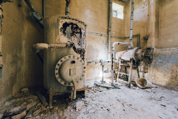
Overlooking the Tal-Qlejgħa Valley is a building which was part of the rehabilitation project of the water sources towards Valletta, carried out in the early twentieth century. Making use of the old underground cisterns, built in the seventeenth century and forming part of the Wignacourt aqueduct, the authorities restored channels and made use of metal pipes to supplement enough water to the ever-increasing population in the Harbour area.

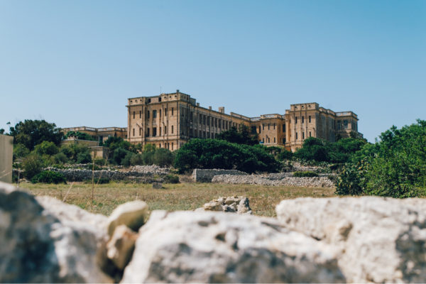
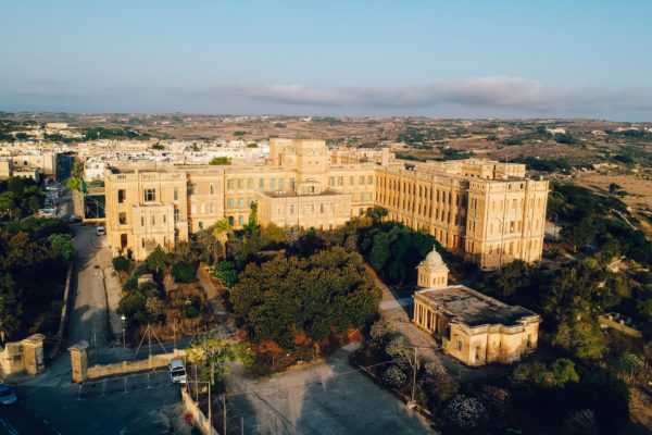
Sir David Bruce Military Hospital, Mtarfa
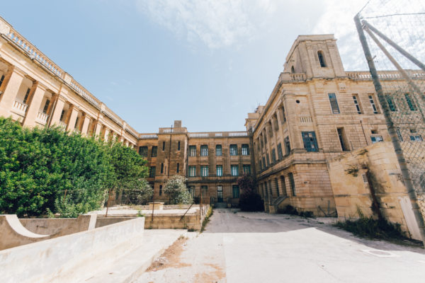
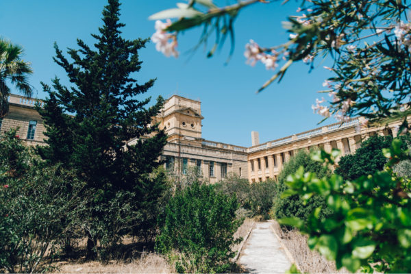
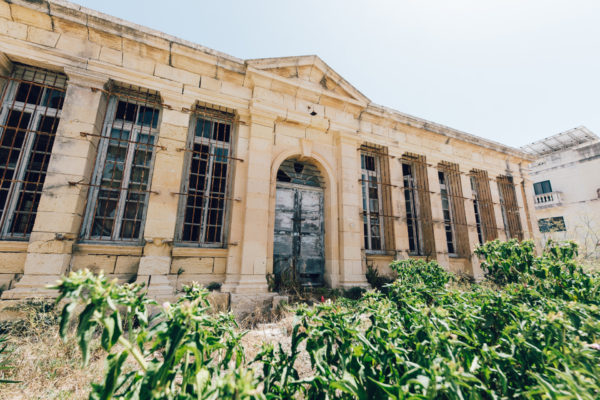
After the building of military barracks on Mtarfa hill towards the end of the 19th century, a few years later a military hospital was built close by, instead of a much smaller hospital. This was not the first hospital that the British authorities had built in Malta.

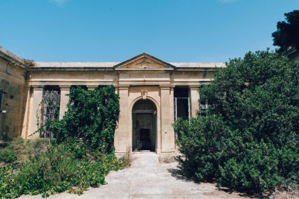
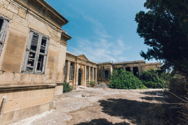
Mtarfa Isolation Hospital
Quarantine was a very important health issue in Malta, due to the large number of military personnel stationed here, and the presence of the Mediterranean Fleet. In 1924 an isolation hospital for the British services was inaugurated, close to the main buildings of the Hospital at Mtarfa.

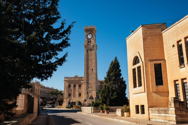
Mtarfa Clock Tower
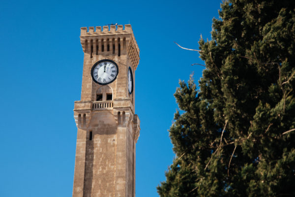
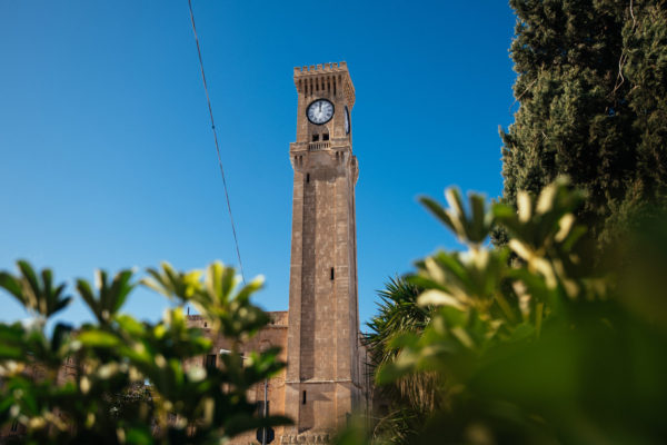
The Mtarfa Clock tower was built in 1895, forming part of military barracks that were completed a few years earlier. The lower part of the tower is about 22.5 metres high, while the upper part goes for a further 9 metres.

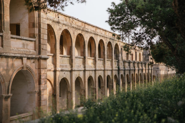
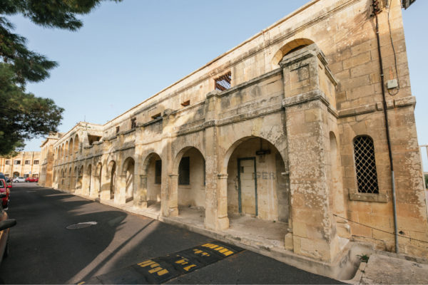
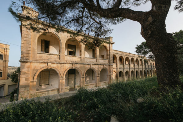
Mtarfa Military Buildings
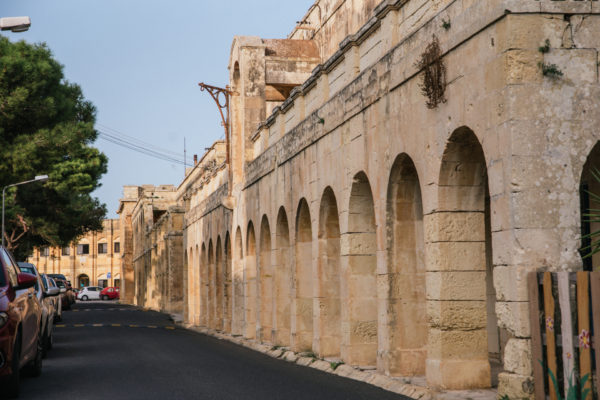
The building of the Victoria Lines and Fort Binġemma required that a large garrison be stationed in the area. This led to the need to build new military barracks to accommodate the garrison. The Mtarfa barracks started being built in 1891 and were completed in 1896.

Church of St Oswald
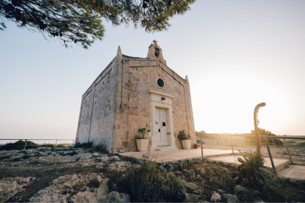
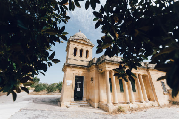
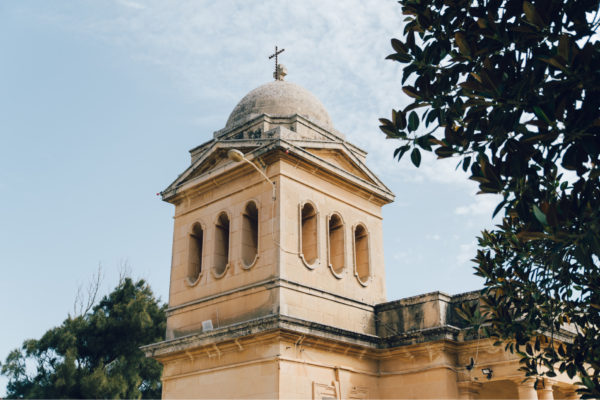
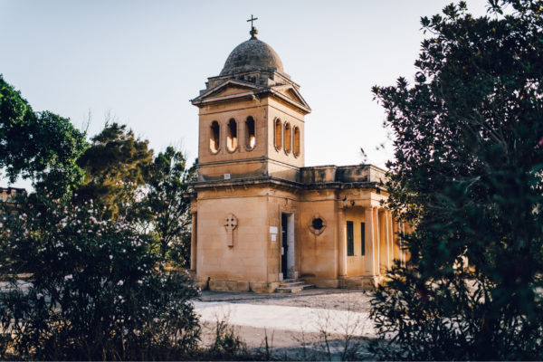
One of the buildings that was erected within the Military Barracks of Mtarfa was a garrison church, built in 1921 and dedicated to St Oswald. The plan of the church is a reduced Latin cross plan, and it has only one altar. It was built to serve the Protestant members of the garrison stationed in Mtarfa.

Church of St Lucy
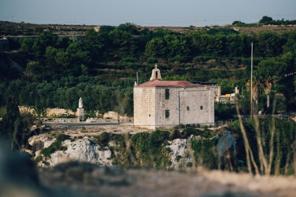
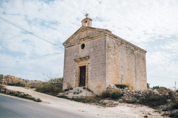
The earliest documentary evidence of a church dedicated to St Lucy dates back to the end of the 15th century. It is also known that just before the Great Siege of 1565 it was pulled down, in order to disadvantage the Ottoman army who might use it for their own advantage.

Church of St Michael
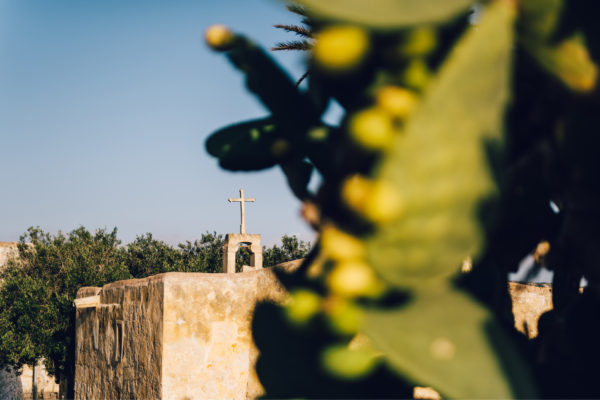
In the middle of the fields lies the ruins of the medieval church dedicated to St Michael, the Sincere. The Maltese name for this church is of San Mikiel Sinċier, or San Ċir, a corruption of the proper title. A medieval building built in the 15th century, the church was first documented during a visit by Mons.

Church of The Nativity of Our Lady
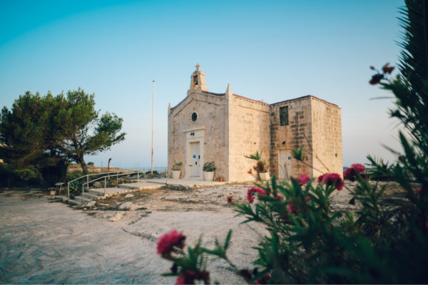
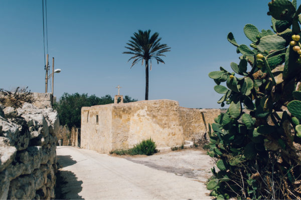
The church was probably built in the 16th century. Its dedication to the Nativity of Our Lady was popular in Malta, especially after the victory of the Great Siege of 1565 as help from Sicily arrived in Malta on 8 September, the feast day of the Nativity of Our Lady.

Church of Our Lady of Ittria
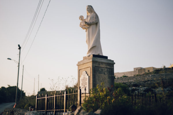
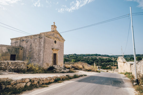
The first church was built in 1615 by the nobleman Gio. Maria Xara. Due to the structural instability of the church, a new church was erected in 1685 by a member of the same Xara family. The church was dedicated to Our Lady of Hodigitria, although referred to in Malta as Our Lady of Ittria.

Għerien il-Lhud, Binġemma
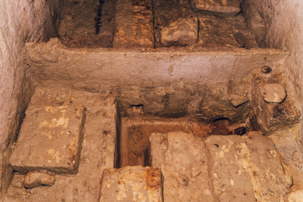
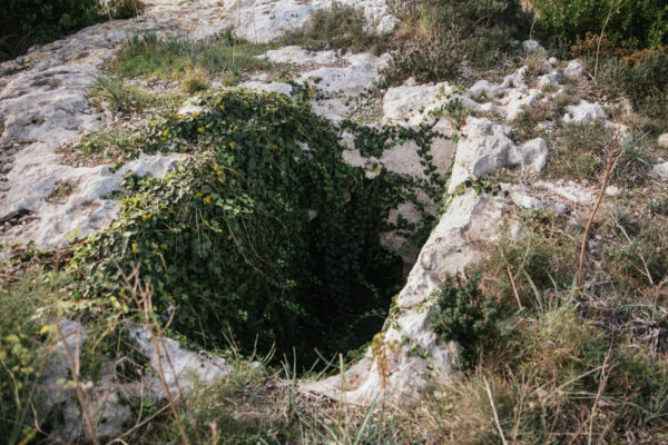
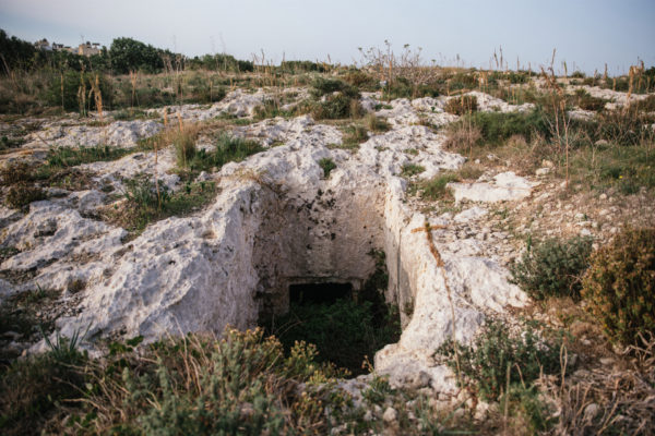
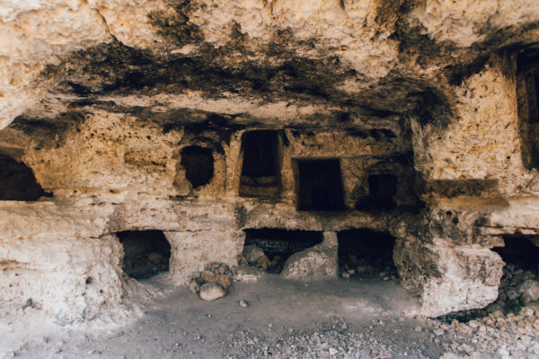
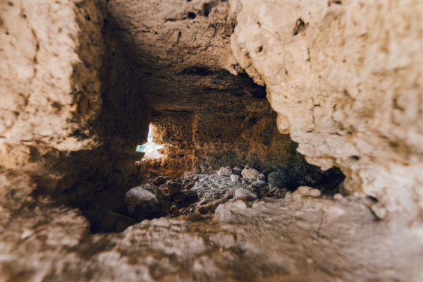
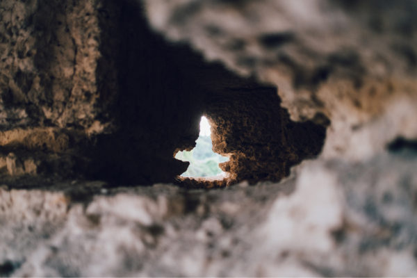
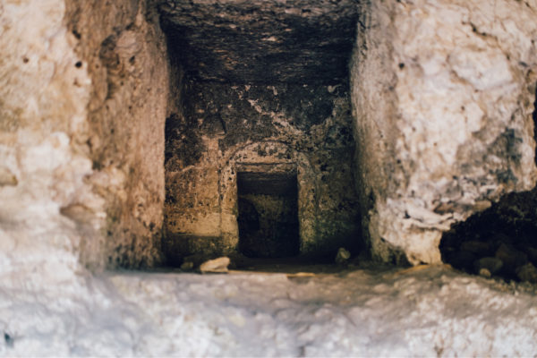
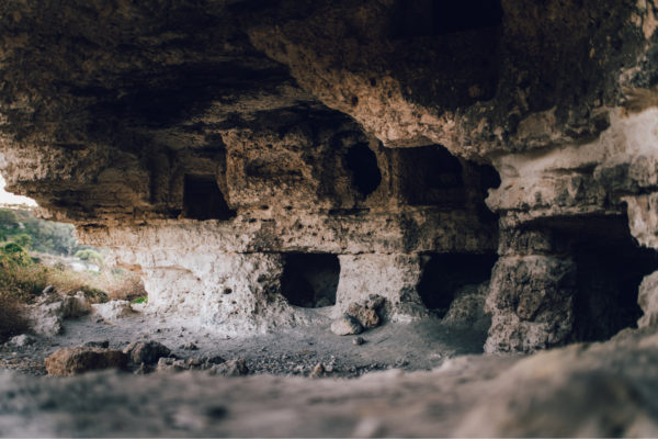
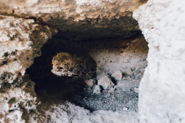
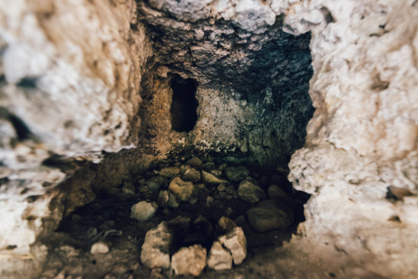
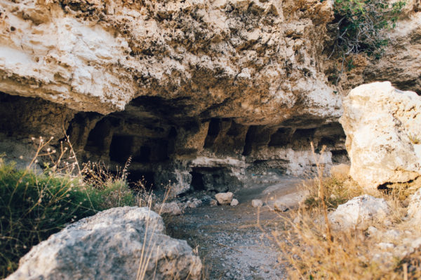
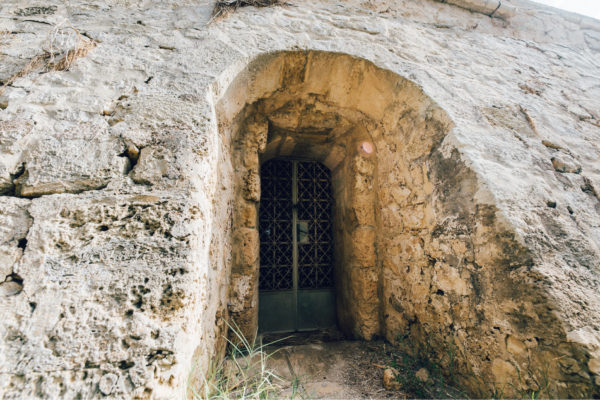
Carved into the hillside overlooking the valley, are a number of rock-cut chambers which have always been believed to be Jewish tombs. They were first documented by the father of Maltese historiography, Giovanni Francesco Abela (1582-1655) and it was even reported that Hebrew inscriptions were also discovered.

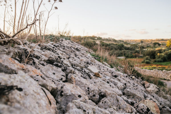
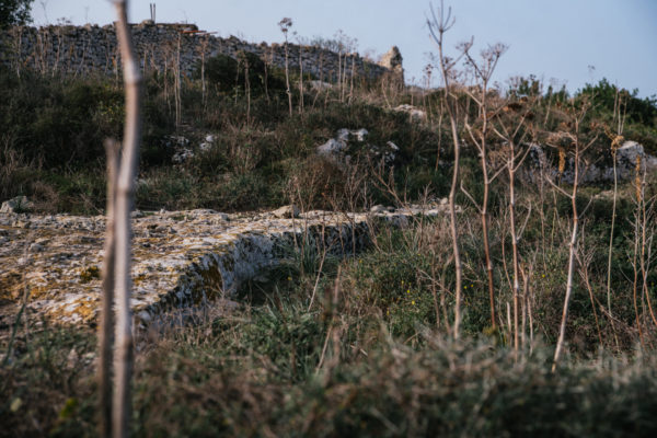
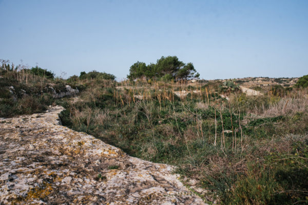
Cart-ruts at Mtarfa
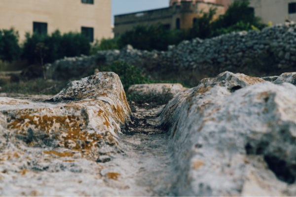
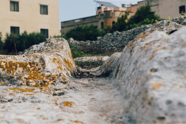
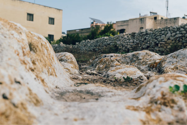
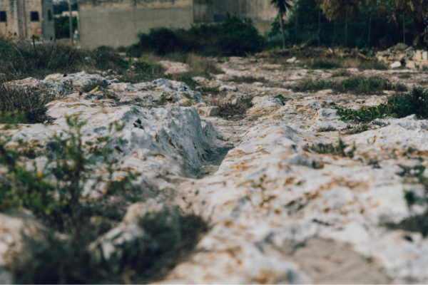
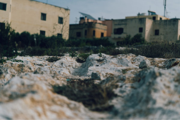
Amongst the most mysterious remains from ancient times are the so-called cart-ruts. These are usually ruts carved on the rock surface, and they run in pairs. The grooves are in the form of a V, ending in a slightly rounded bottom.

Għajn Klieb Roman Tower
Malta was the first territory outside Italy that was conquered by the Romans in 218 BC. The main Roman defences were around Melite, the capital city of Malta. Eventually, a number of round towers were built in the countryside.

Għajn Klieb tombs
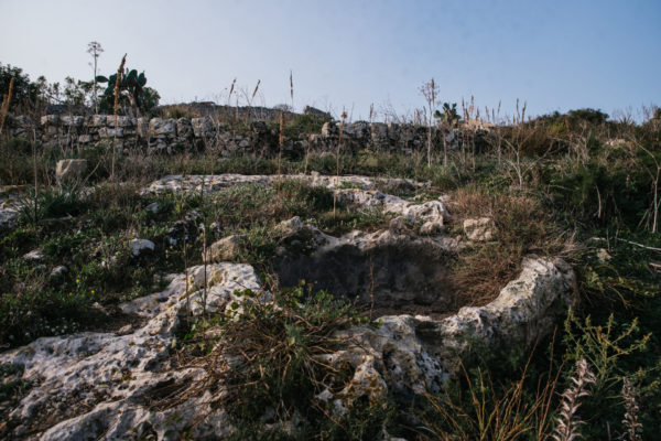
In this area known as Għajn Klieb, a cluster of Phoenician-Punic rock-cut tombs were discovered. These overlook the Fiddien Valley. First discovered in 1890, more tombs were subsequently discovered and explored in the following years.

Wignacourt Aqueduct
The building of the new city of Valletta led to the need to provide enough water to its new residents. It was during the time of Grand Master Martino Garzes (1595-1601) that the building of a system to bring water into Valletta was suggested.

Ta Koronja Farmhouse
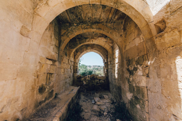
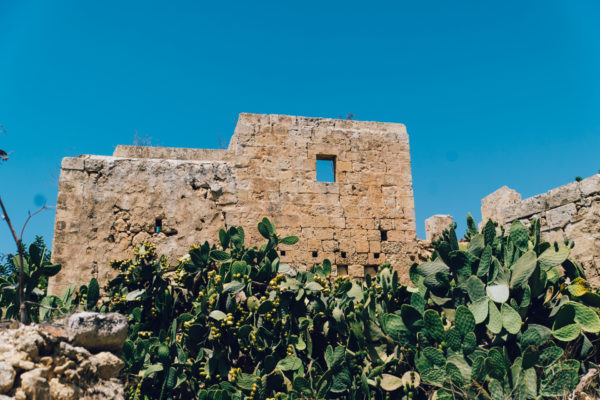
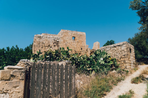
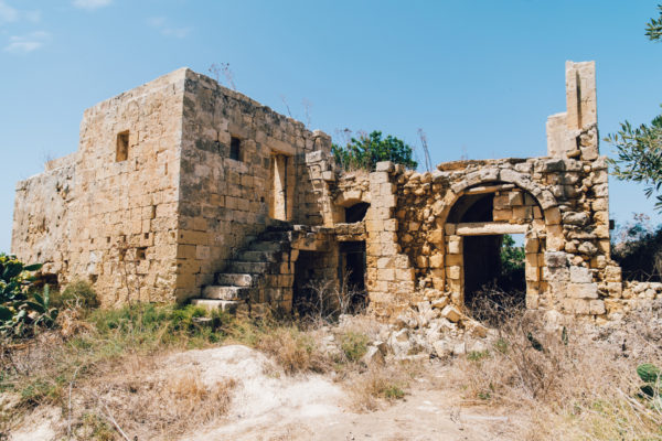
Lying amongst the lush vegetation are the ruins of Ta’ Koronja farmhouse, one of a number of farmhouses in the area. One must imagine the agricultural activity that there would have been in the area, when farming families needed to live near their fields due to the distances with the nearby villages.

Victoria Lines
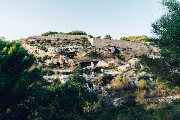
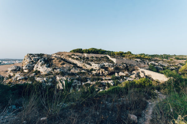
In the second half of the nineteenth century, the British military authorities started building and adding fortifications around Malta. Various forts were built and equipped with the latest artillery pieces. A number of forts, an entrenchment and a number of batteries were built in the north-west of Malta, along a natural fault.

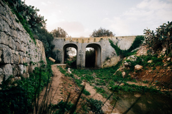
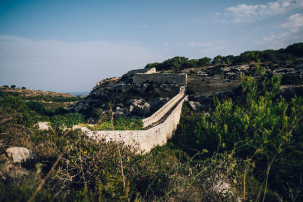
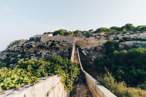
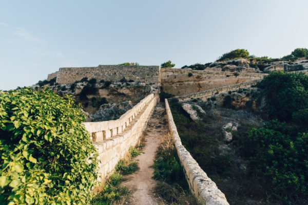
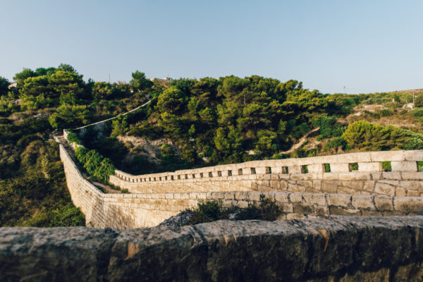
Binġemma Stop Wall
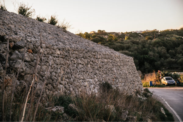
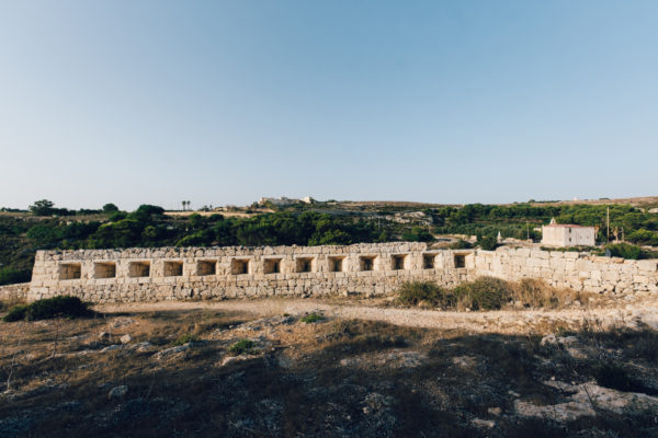
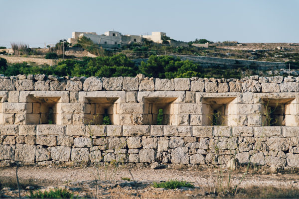
The Victoria Lines followed the natural escarpment, and this led to the need to the crossing of several valleys. One of these is the Binġemma Valley, and to secure the defensive line a raised passageway was built in the valley.

Fort Binġemma
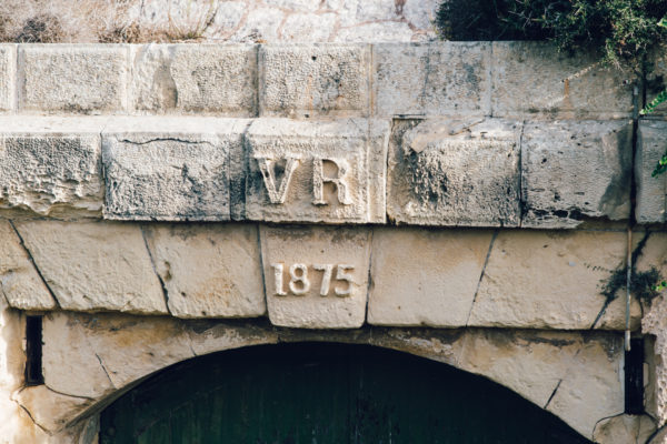
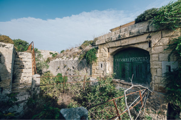
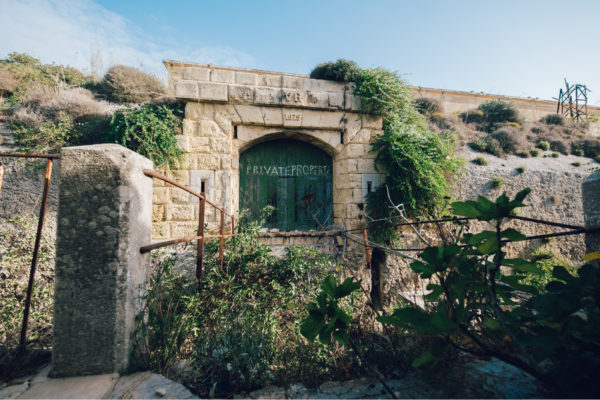
This was the first fort to be built along the North-West Front, which was later to be renamed as the Victoria Lines. It started being built in 1875 and was completed three years later.

British Reservoir at Tas-Salib area
The area around Ta’ Koronja lies above the water table. Thus, the extraction of water from here was important. During the seventeenth century water was used to supplement the Wignacourt aqueduct to take water into Valletta.

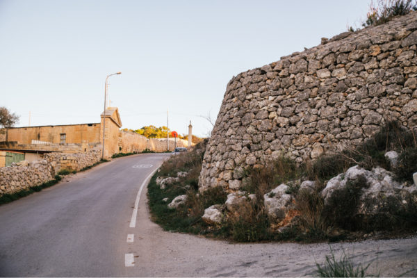
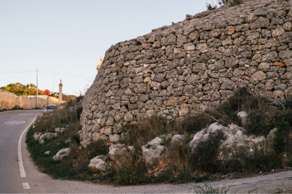
Dejma stone cross
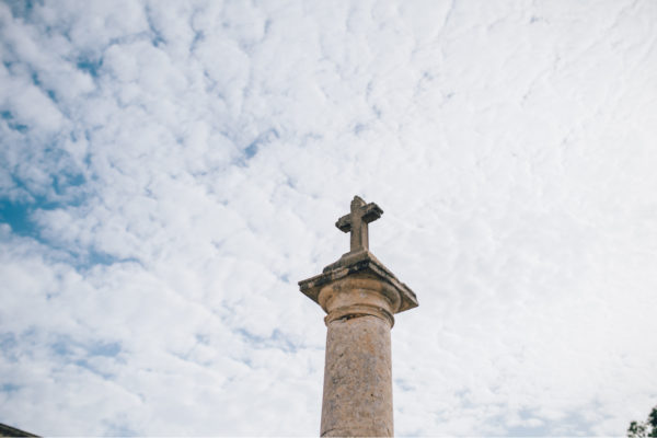
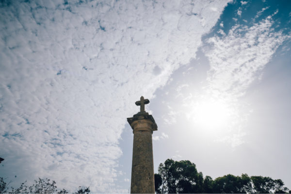
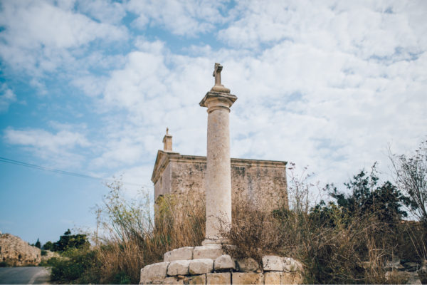
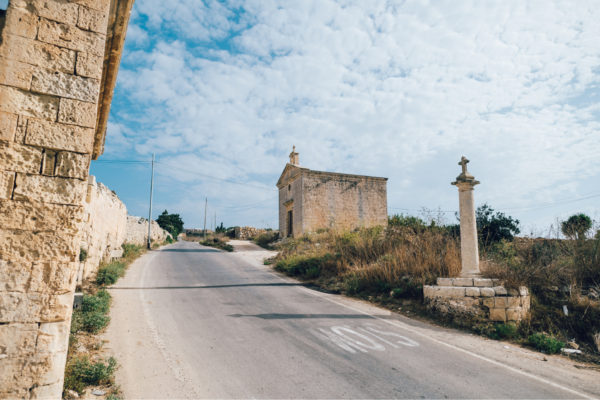
There are a number of similar stone-cross at various locations around the Maltese Islands. While they are usually referred to as the Dejma cross, where the local militia would meet in case of an invasion, there are others who maintain that these indicate parish limits.


